Quickly change from Street View to Aerial Imagery
In Elevate, you have different options for the background view of the map. The most common backgrounds are Street View and Aerial Imagery. This guide explains how to quickly switch between the two backgrounds.
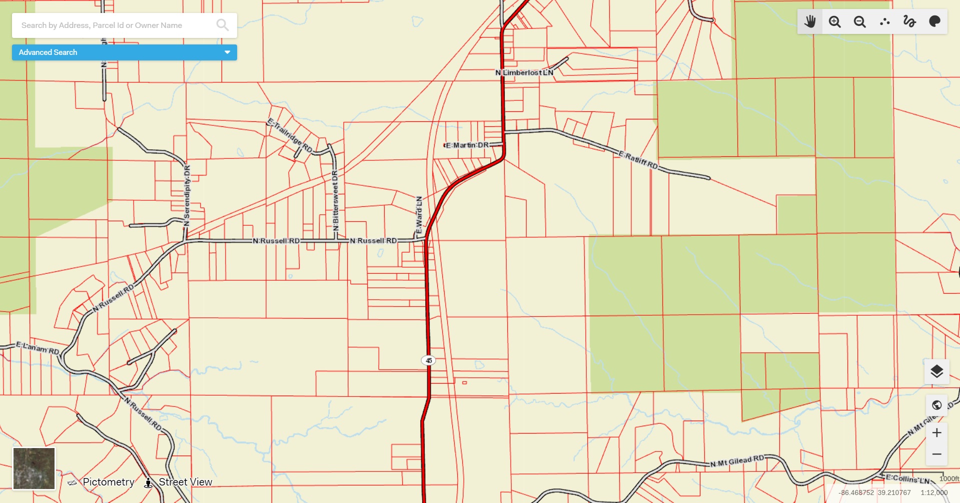
The default view is the Street View. Street View shows major roads, waterways, and elevation changes.

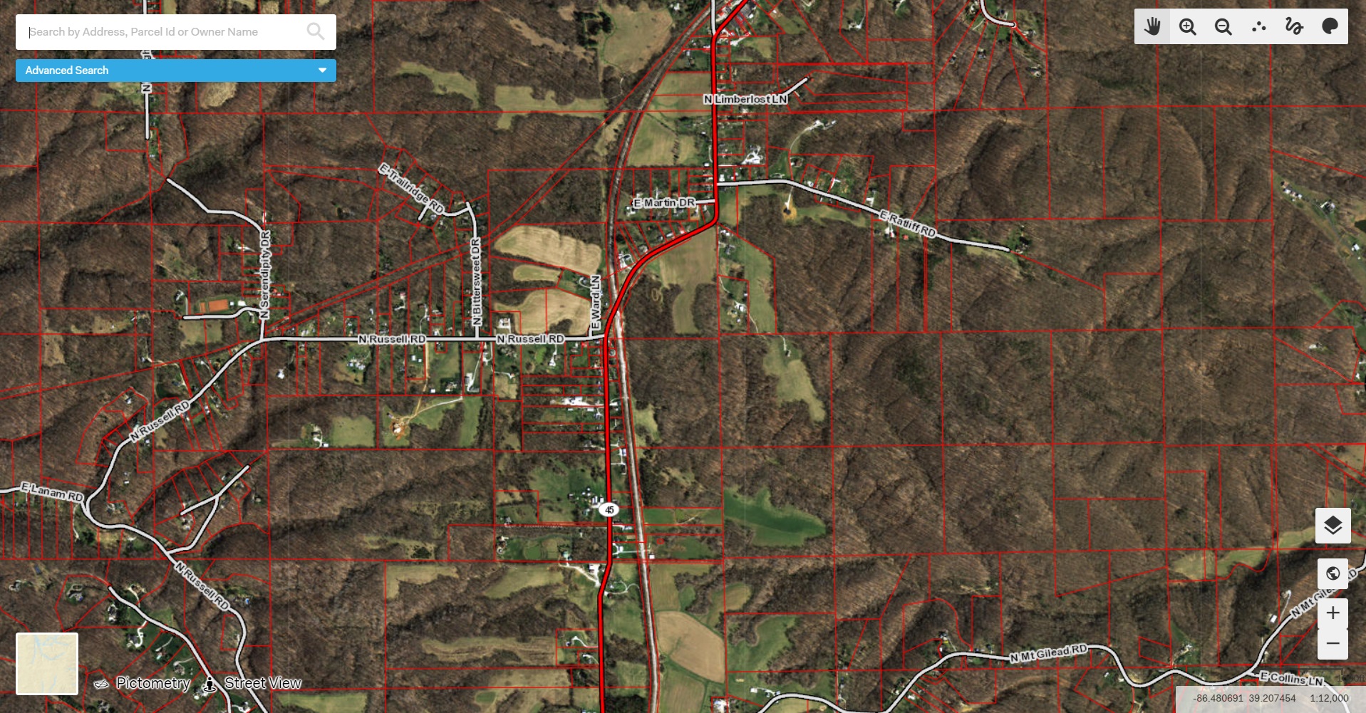
The Aerial Imagery view is a more accurate representation of the land. This background shows what the area looks like in real life. This option shows buildings, roads, trees, etc.

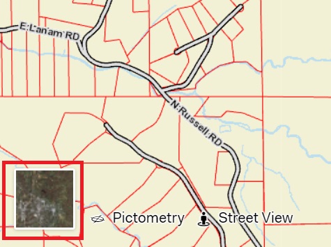
To switch quickly between Street View and Aerial Imagery, use the box in the bottom left corner of the screen. Clicking this box will quickly switch the background of your map from Street View to the latest Aerial Imagery available for that particular county.
