How to Draw Shapes
In Elevate, you have the ability to draw shapes on your map. Follow the directions below for more information on how to do that.
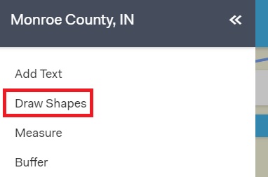
To begin drawing, click Menu in the top left hand of your screen, then click on Draw Shapes.

The Draw Shapes toolbox will appear on your screen. Click on any of the 10 shapes and then click on your map to start drawing . Configure your drawing to your liking using the options below the shapes.

Two of the tools in the draw shapes toolset will allow you to COGO (coordinate geometry) either a polygon or polyline. You will need a background knowledge of how to read a deed in order to use these tools correctly.

To remove a single drawing, click the selection tool and select the drawing you would like to be removed, then click on delete and that individual drawing will be removed. If you want to remove all drawings, click on the Delete All button.
If you like to make a change to a previous drawing, click on the select tool, then make your selection. Once your drawing is selected, you will see the vertices appear and you can make any changes to your drawing.
If you would like to save your drawings, click the Save KML button. A KML file will be saved of your drawings.
In the Draw Shapes toolbox, you also have the ability to Load a KML file. Click on the Load KML button and select the kml. The drawing will appear on your screen.