How to use the Buffer tool
In Elevate you have the ability to create a buffer. This allows the user to create a buffer polygon around input features to a specified distance.
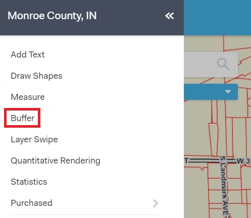
Click on the Menu button in the top left hand corner of your screen, then click on the Buffer tool.

The Buffer Tool is used to identify (A) specific features that fall within a certain distance from a plotted point or (B) the area created by defining a certain distance around selected features.
If you want to identify specific features that fall within a certain distance from a plotted point, start by selecting the Interactive button. Use the drawing tools underneath to plot points, draw lines, or create polygons around features. Input your distance and selection layer then click Buffer.

If you want to instead identify the area using the features that are already selected on your screen, click on the Selected Features button and then input your distance and selection layer then click on the Buffer button to create your buffer.

To clear the buffer you have created click on the Clear button.